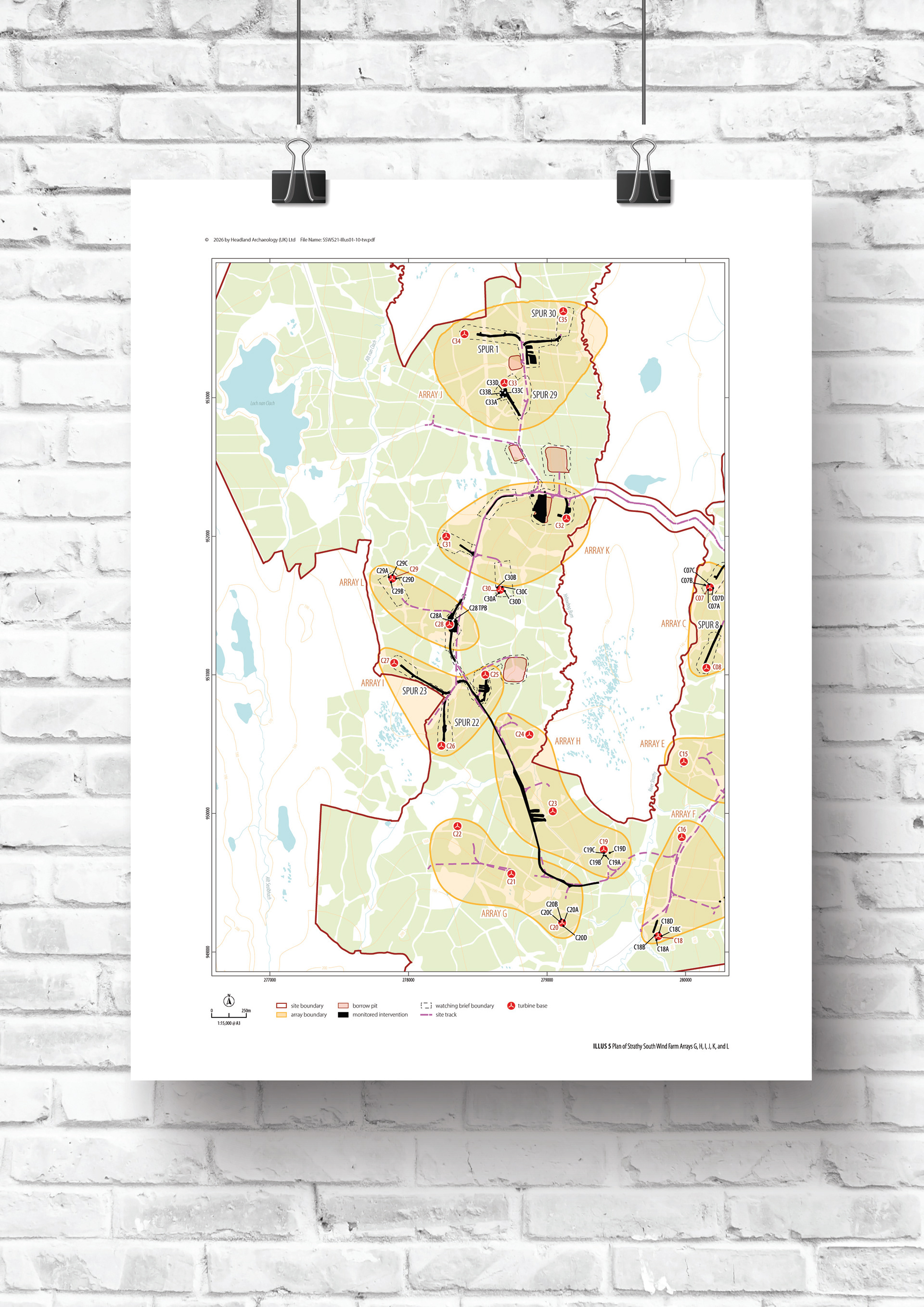
LLM-Assisted Automation Scripting
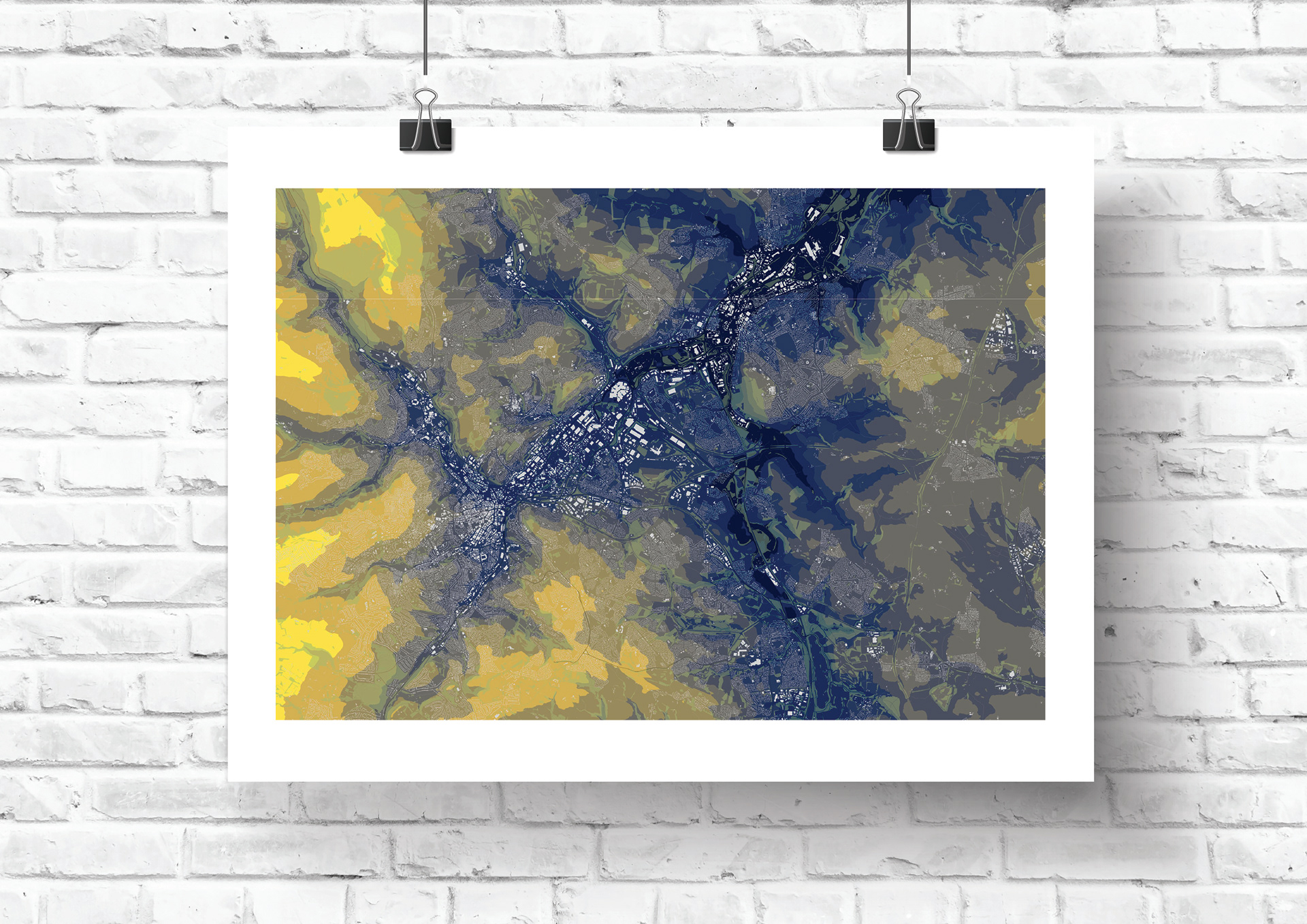
Automated Adobe Illustrator scripting used to detect map scale, restructure layers, and generate standardised location and phase plans — reducing a multi-hour manual process to minutes. Development was funded through Headland's inaugural Annual Research Award, 2026.
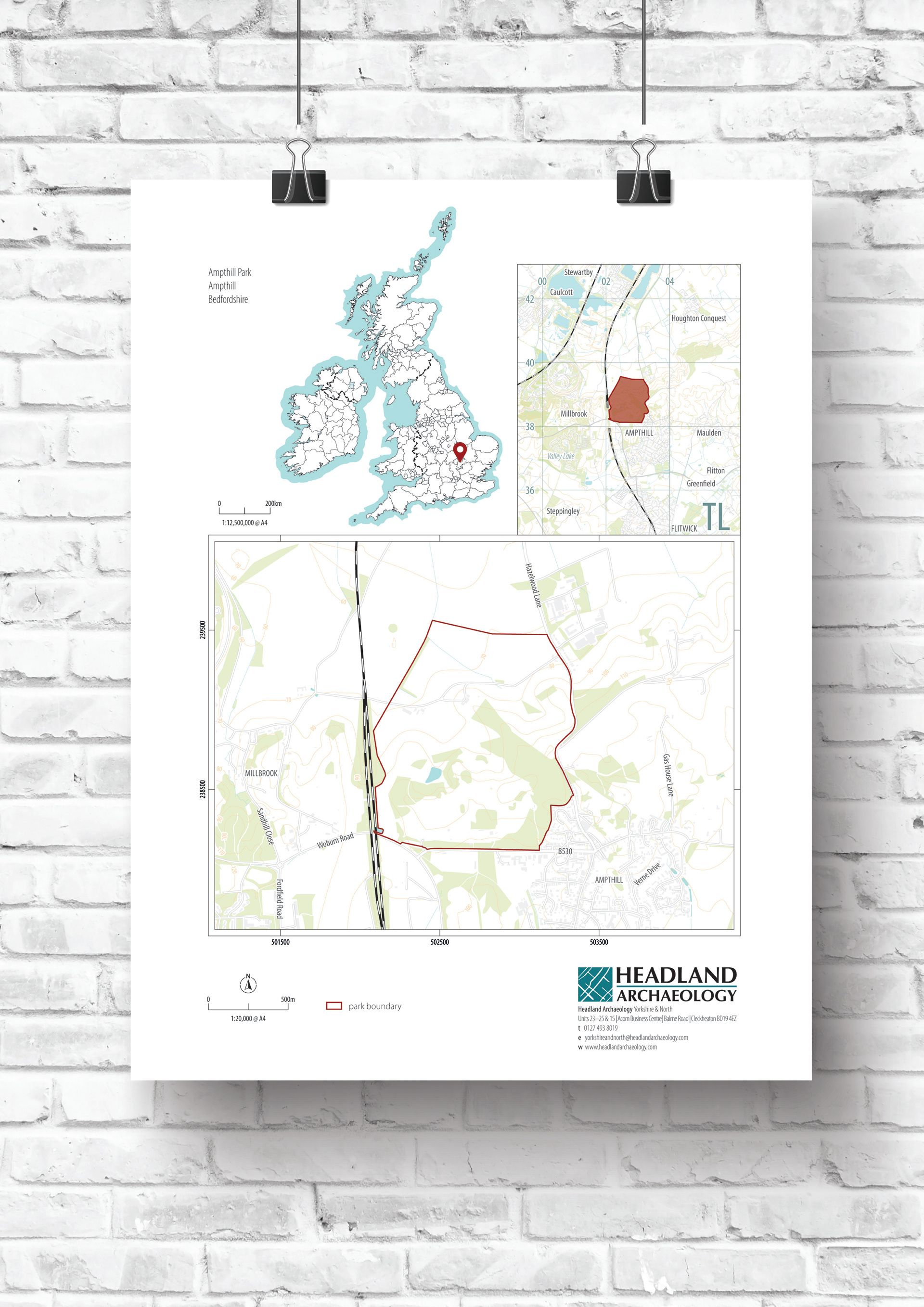
Interactive Site Plan / Phase Plan
A layered, interactive PDF built for a particularly dense urban site, where centuries of rubble and redevelopment obscured earlier archaeology. Clients can toggle phases on and off themselves, with historic maps positioned directly over the modern plan for comparison. Developed independently for this project.
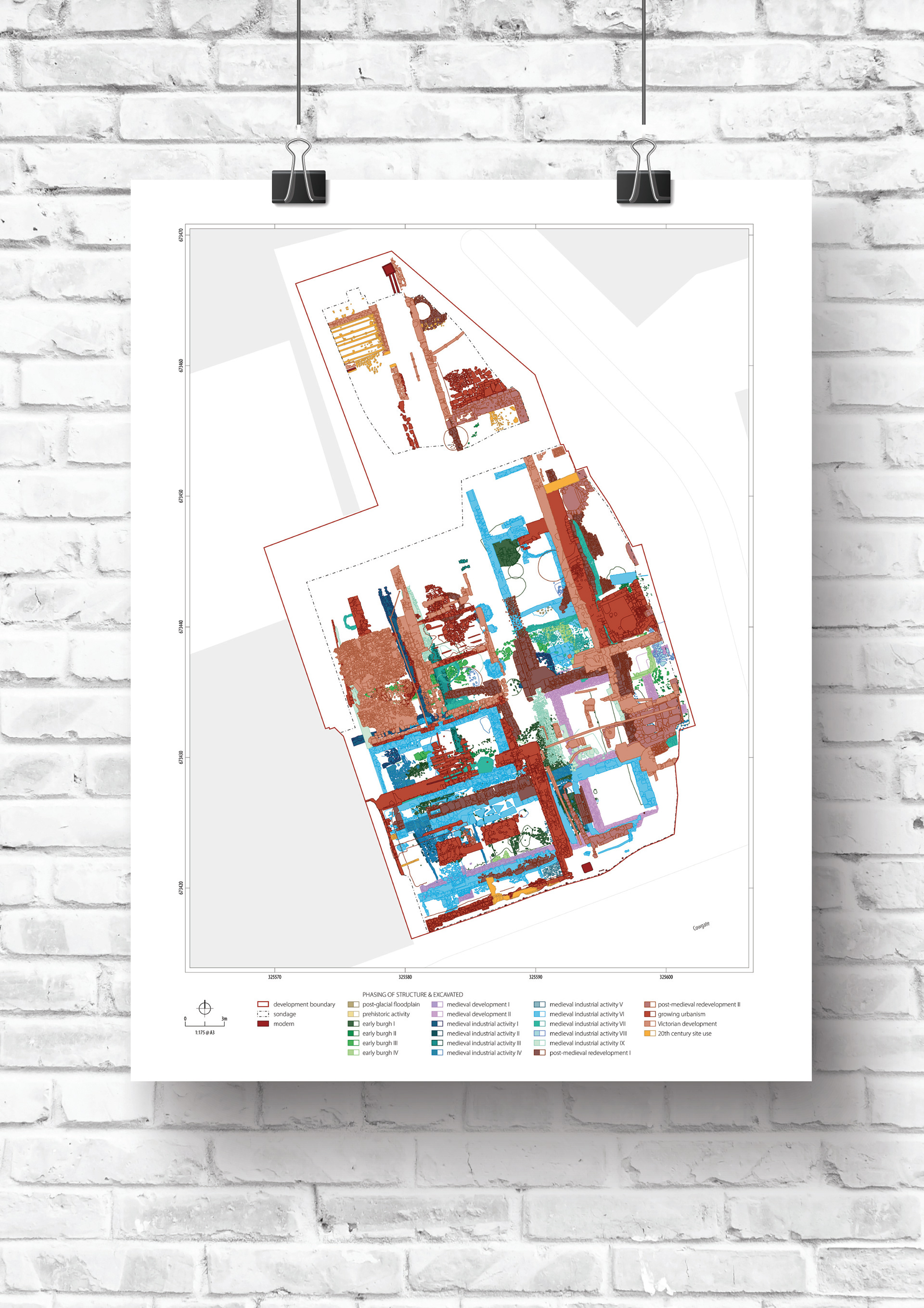
Adobe Illustrator
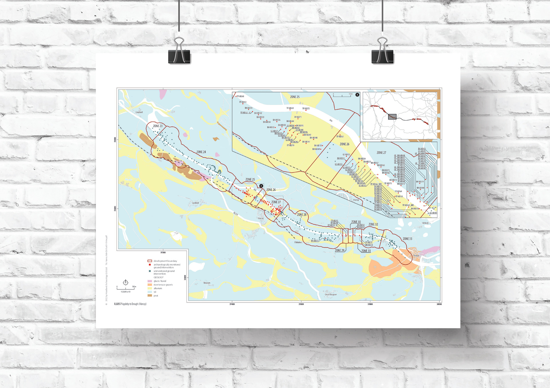
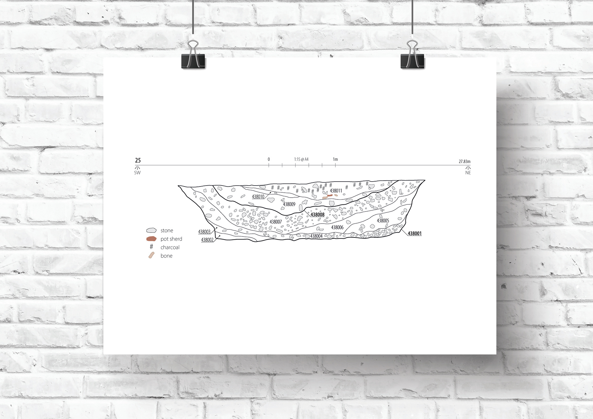
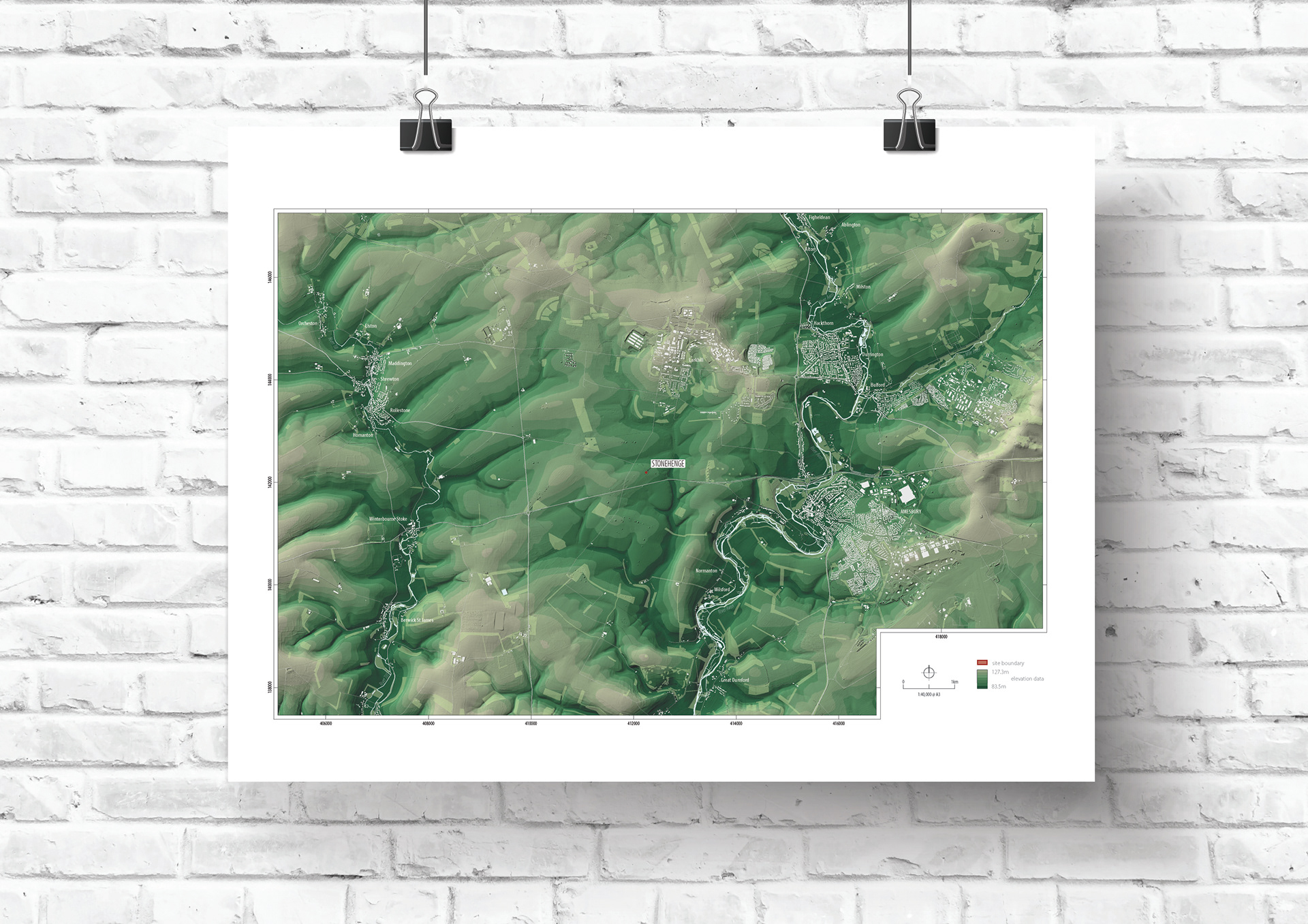
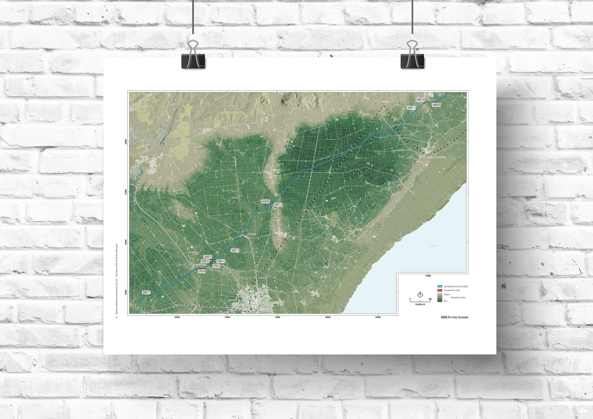
A cross-section of day-to-day Illustrator output alongside more technically demanding work, including topographic mapping built from LiDAR data, a soil section drawing with a dense scatter of inclusions, and a stylistic topographic study of Sheffield.