Adobe After Effects
3D geometry textured with hand-drawn linework instead of photorealistic surfaces, using hatching to convey depth and form — a hybrid of illustration and 3D modelling.
Blender
A rendered camera path through a 3D reconstruction of a site, built from survey or aerial data rather than filmed footage — useful for showing spatial relationships and landscape context that a flat plan can't convey.
Unity
An early-stage proof-of-concept exploring geolocated AR for a rural UK heritage site, built in Unity, targeting Android and iOS. Site data and terrain are used to place reconstructed features in real-world space, viewable through a phone or tablet on location. Currently in early prototyping, testing feasibility of on-site geolocation.
Sketchup
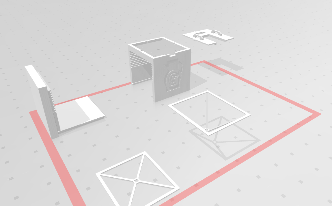
A photography light chamber designed from scratch in SketchUp to determine construction dimensions, ahead of building it via CNC-cut and 3D-printed parts. The design centres a phone's camera through a viewfinder opening, enabling consistent, controlled photography of pottery sherds. An independent research project undertaken in 2018.